Death Valley aka Photodump
I wasn’t so sure what to think about Death Valley before heading there. You kinda get the feeling that every inch had been photographed a million times, which gives you the false impression of already knowing that place before actually heading there.
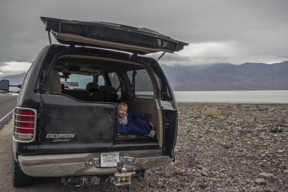
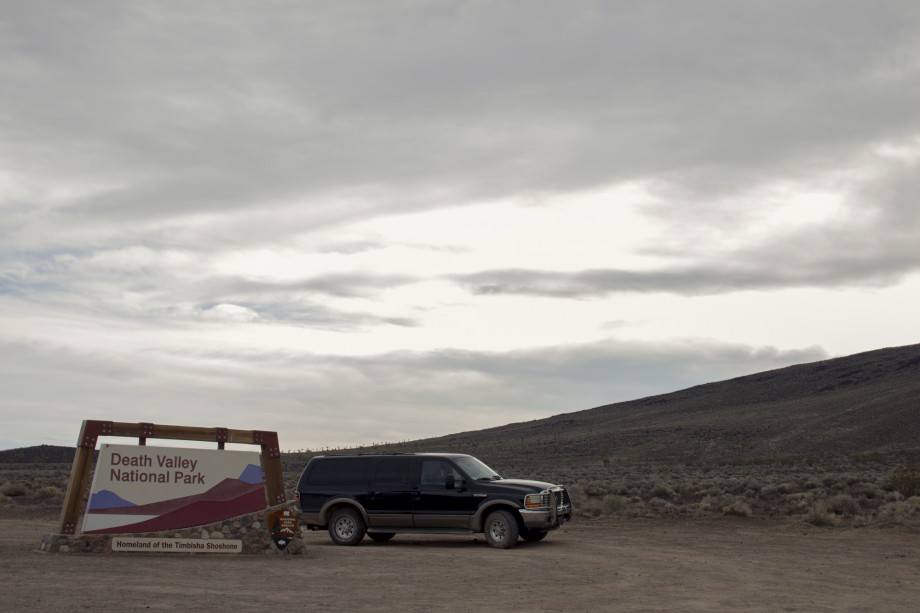
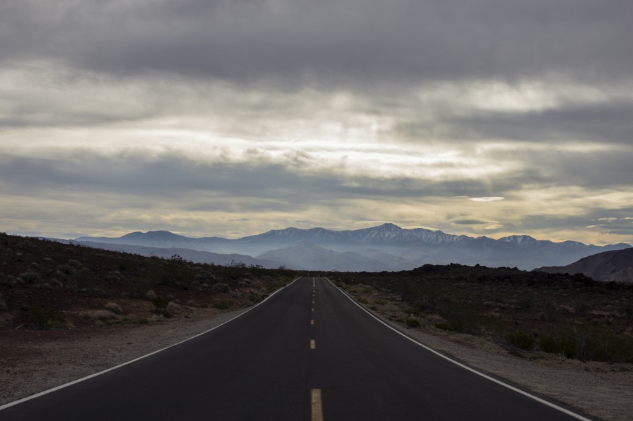
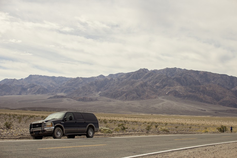
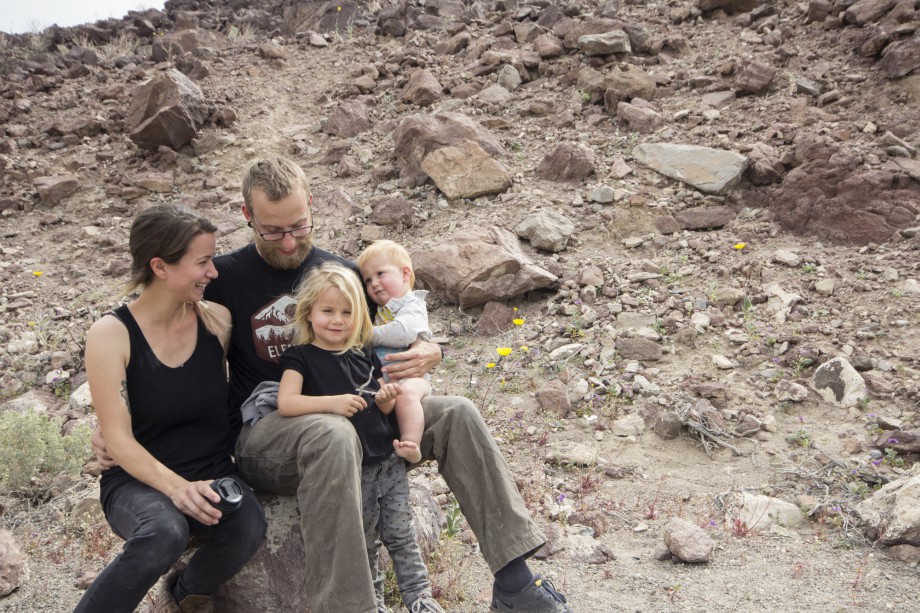
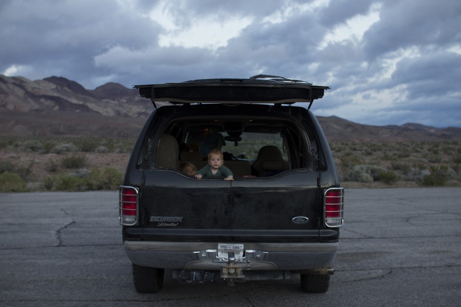
We decided not to take the trailer since the road going in from the west is nasty. Like hairpin turns and 9% slopes for several miles (also there is an old car lying on one of the cliffs). On either side of the road there are cars parked with brake and transmission issues (down) and overheating issues (up). We didn’t have the time to spend more than two days anyways due to lack of cell reception and work. So we decided to make it an adventure and go car camping. Luckily our car is big enough for all of us to sleep in but small enough to get around without a hassle. And that’s exactly what we did.
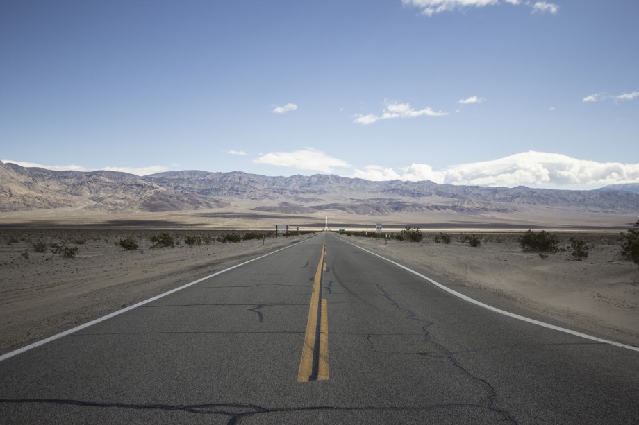
Sierra Nevada Mountains behind us, Death Valley ahead of us
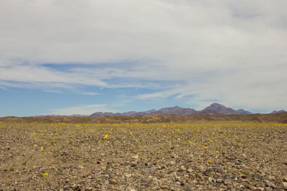
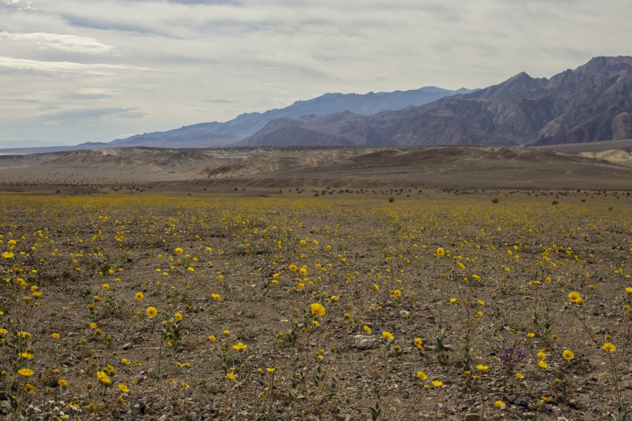
The super bloom
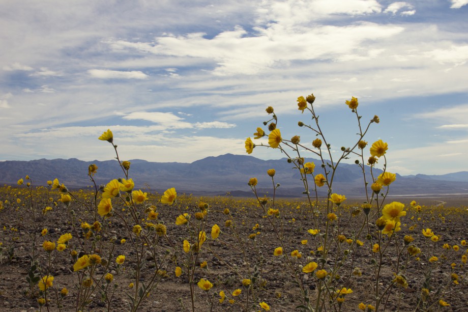
Right now Death Valley has a once-in-a-decade super bloom thanks to the rainstorms in October. Which means tons of yellow, purple and white flowers where normally only the desert is. Which also means long lines of cars parked on either side of the street and tourists with selfie sticks wading around picking flowers.
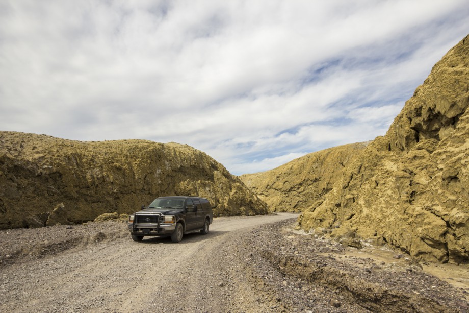
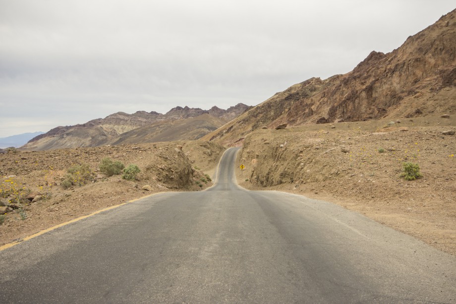
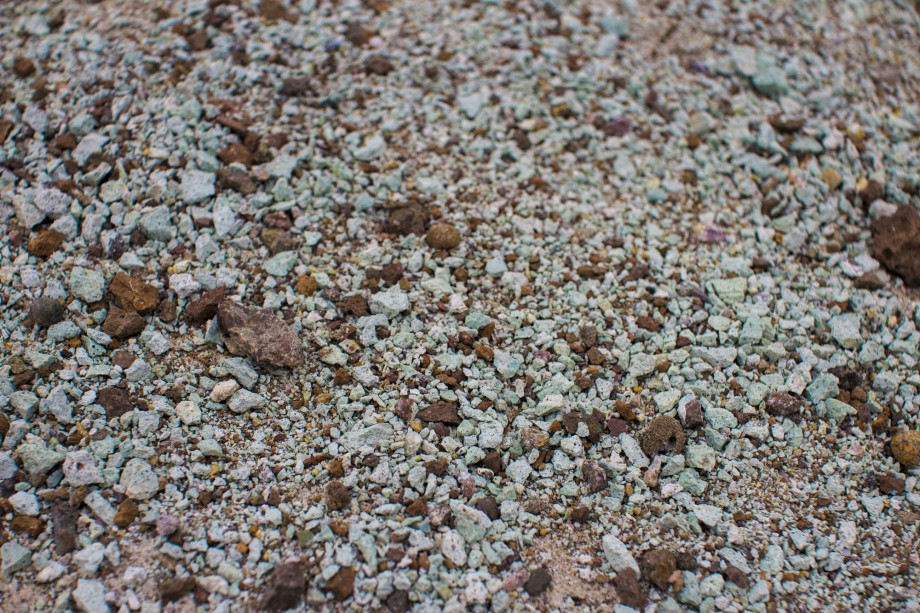
Mustard Canyon
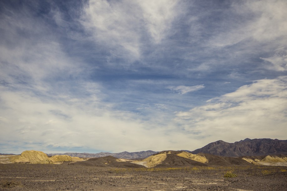
A nice hidden drive and the perfect place for a picnic. The canyon actually was mustard yellow.
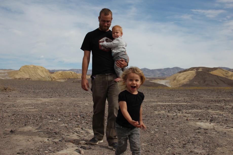
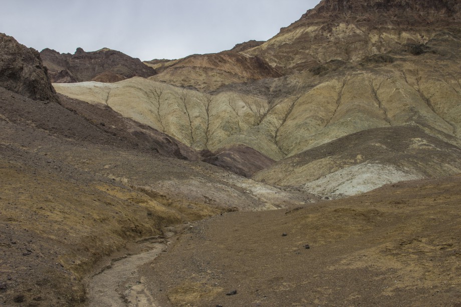
Painted Hills
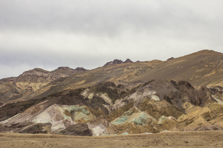
Nice detour but a little bit underwhelming if you don’t take the time to actually hike them.
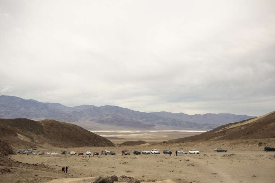
That happens when you visit a National Park on a weekend
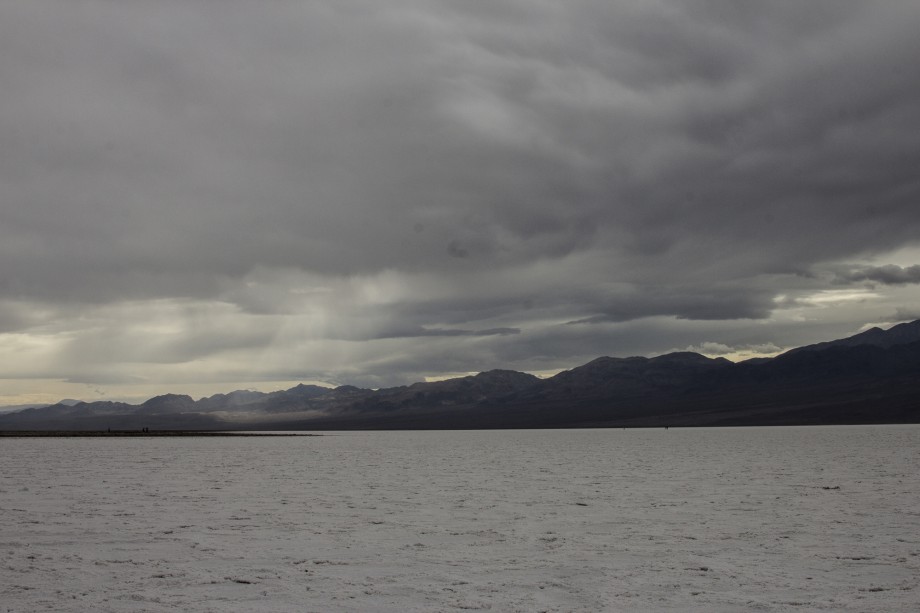
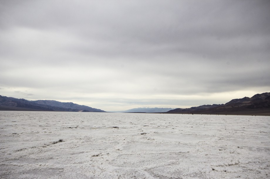
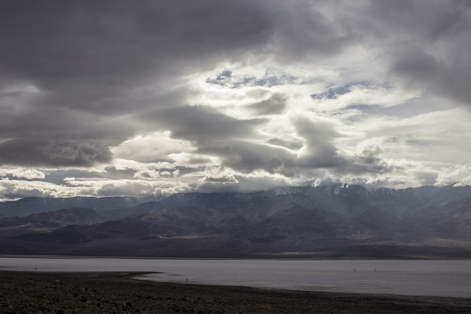
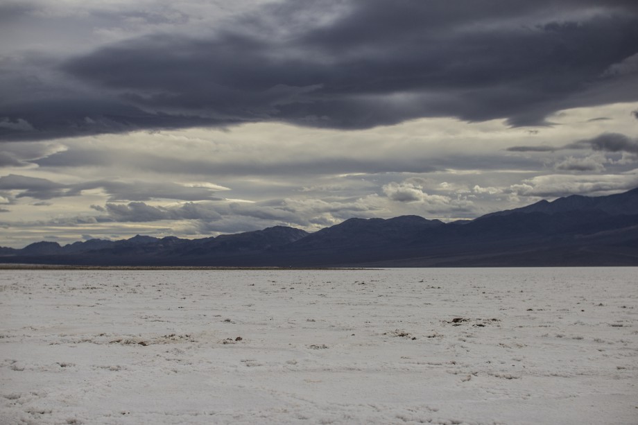
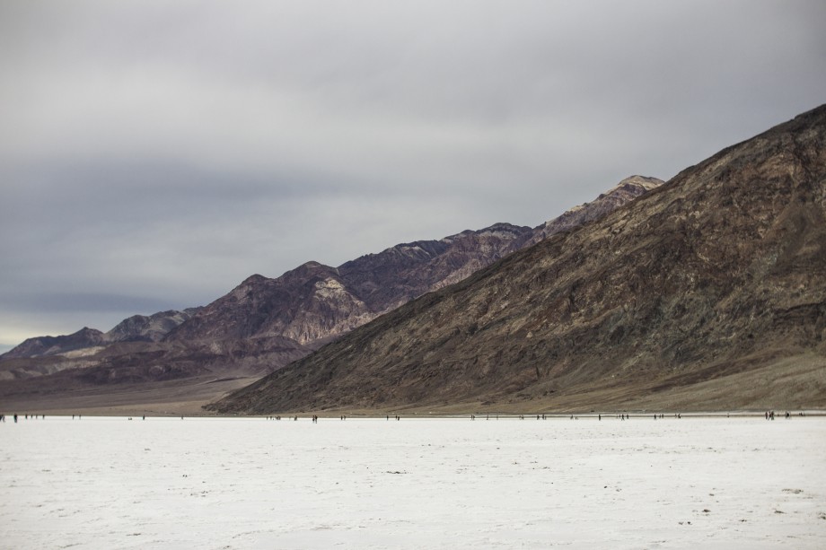
Badwater Basin
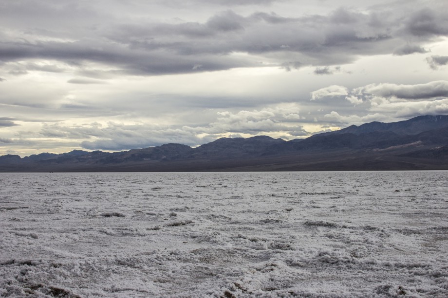
Same as Painted Hills: You need to take the time to actually hike to the borders, away from the path the tourists left. With high winds and a whiny toddler we only got to walk about a mile out before we headed back to the car.
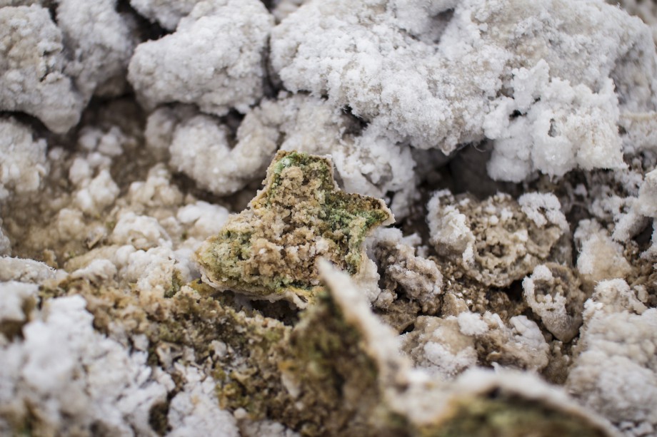
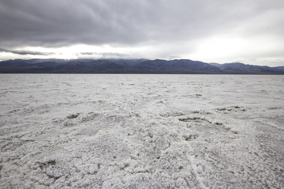
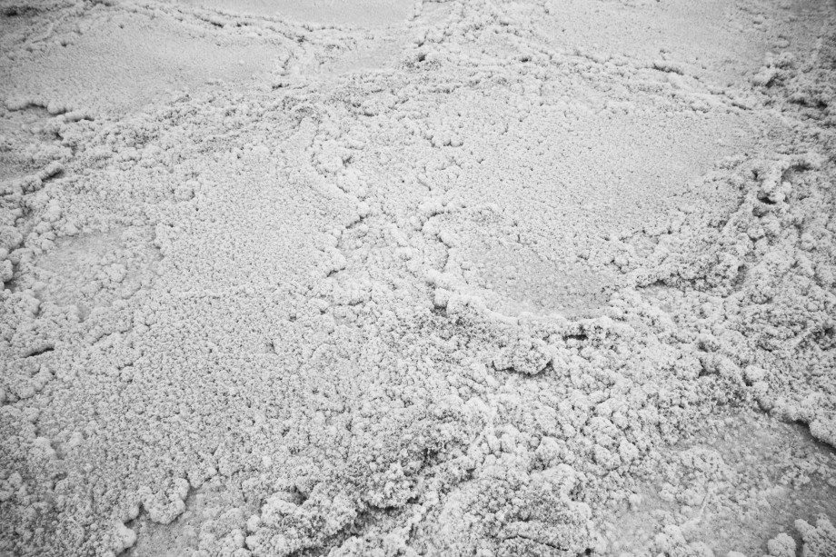
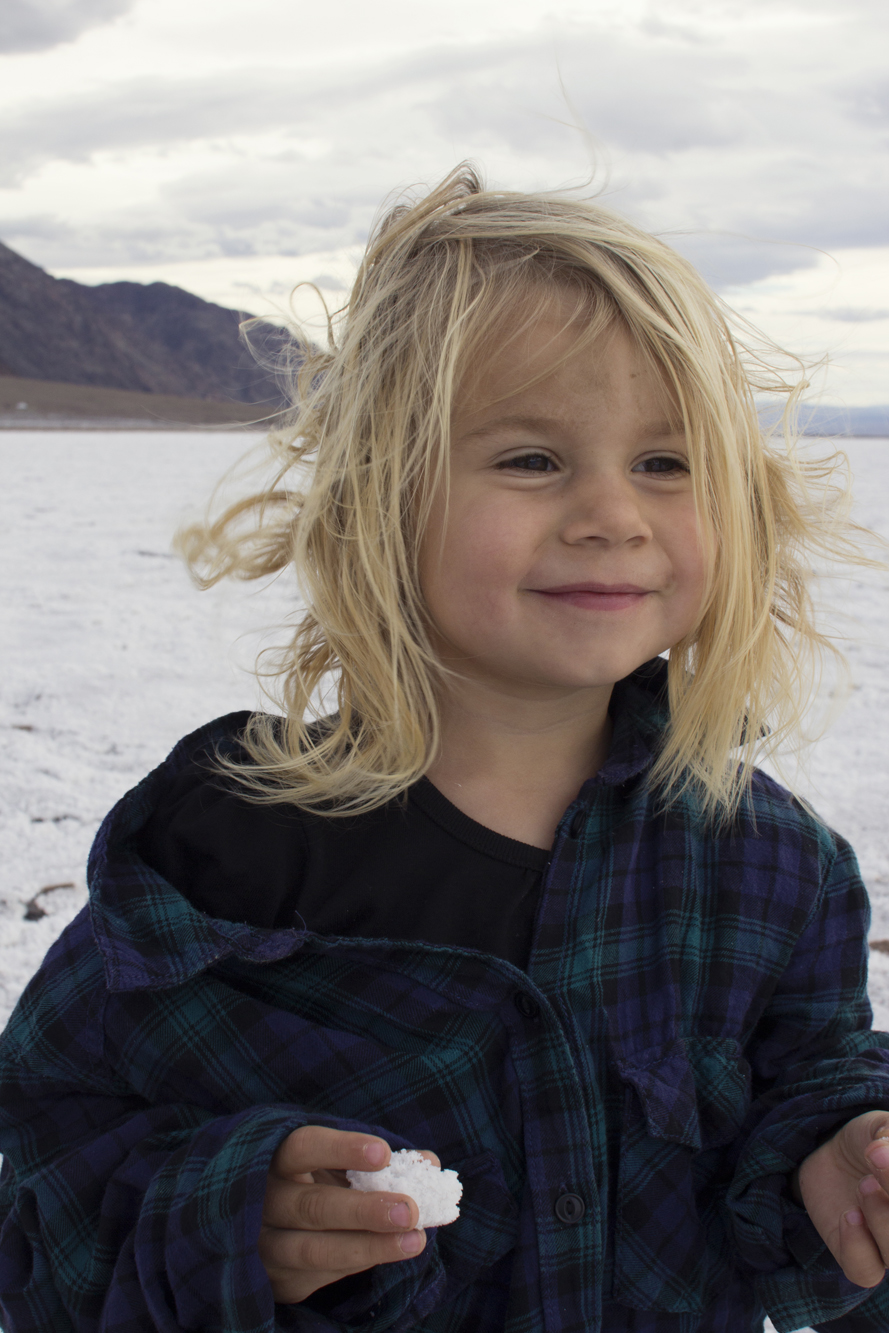
Guess who tasted the salt
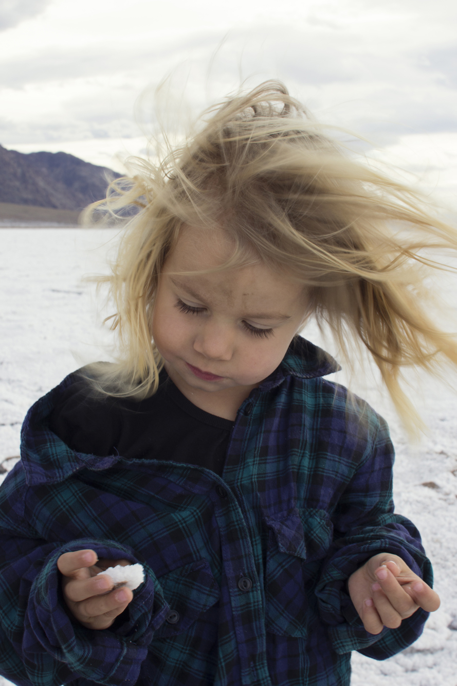
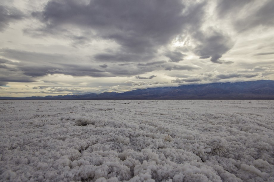
Also the lowest point in North America
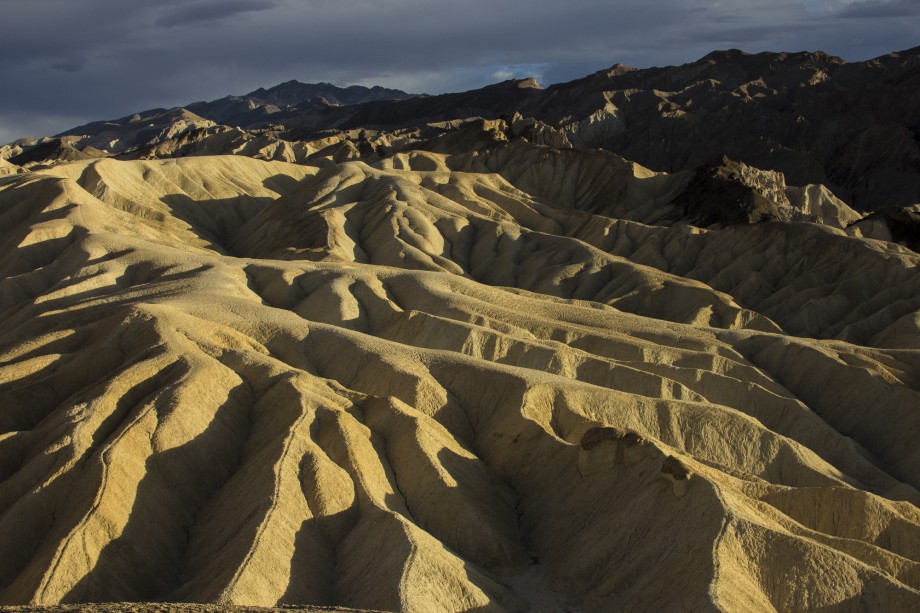
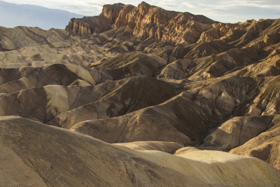
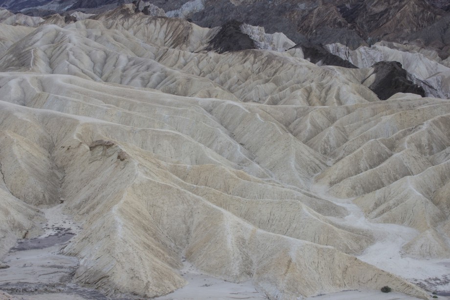
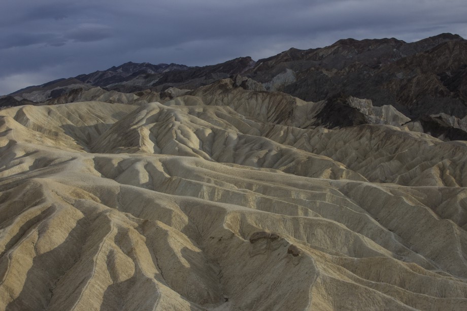
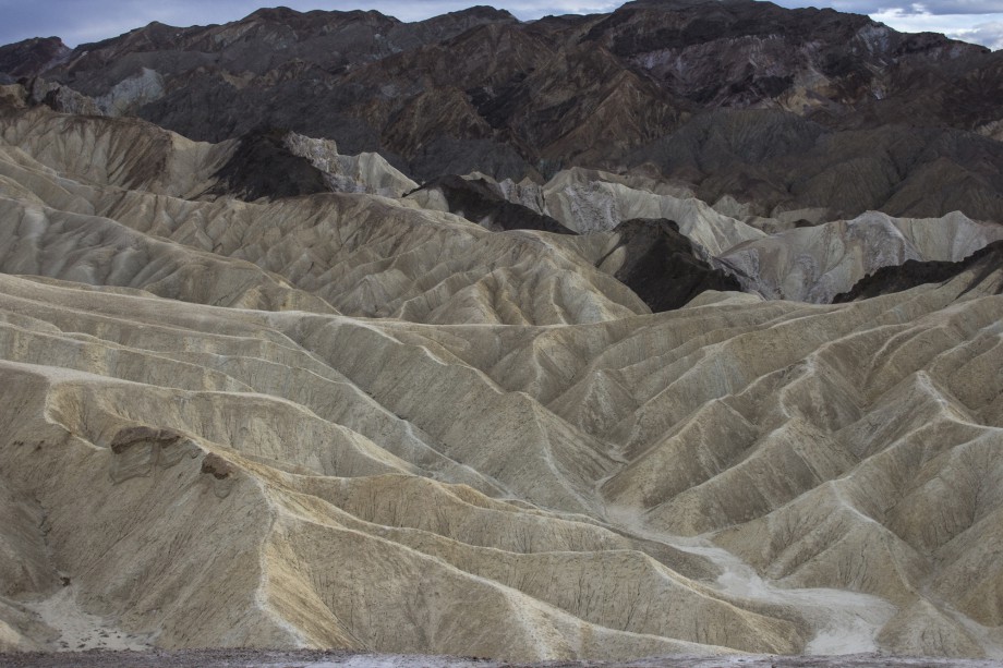
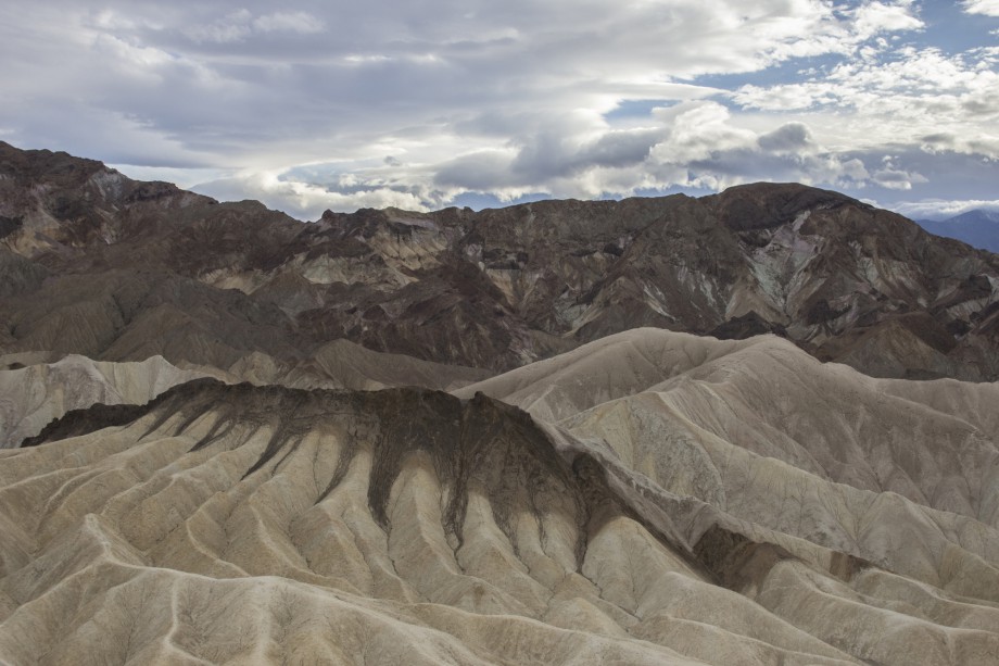
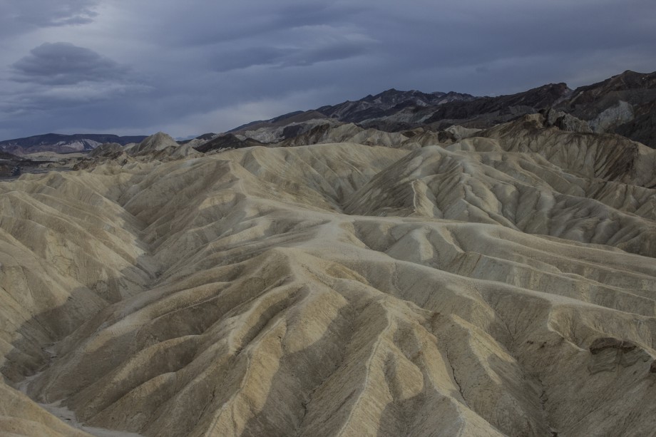
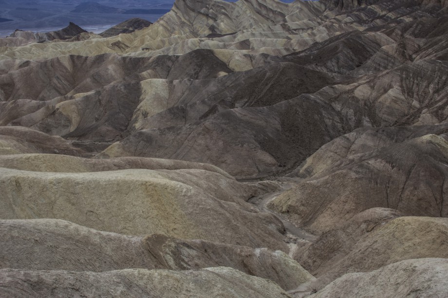
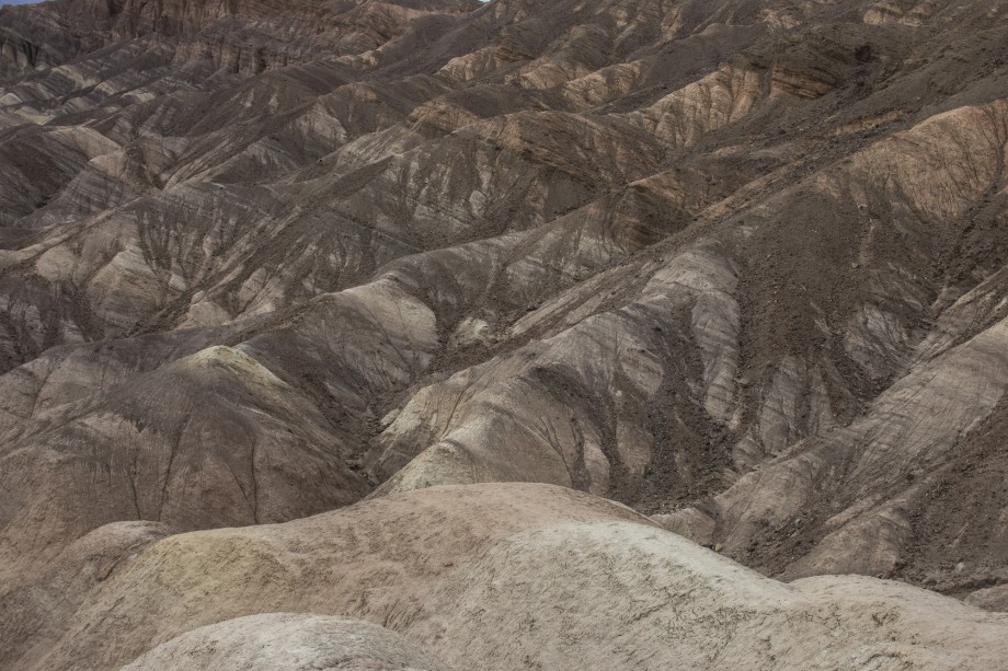
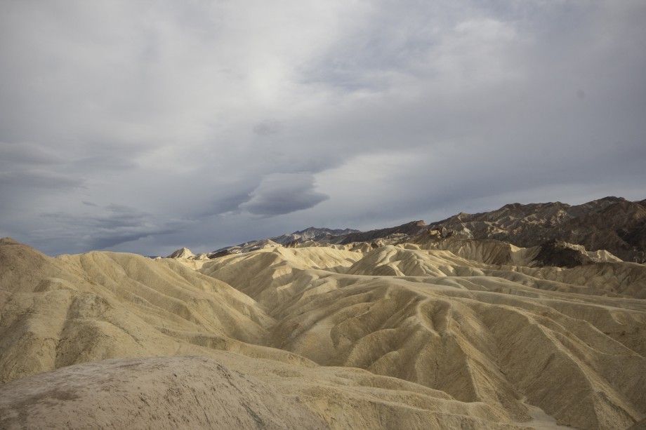
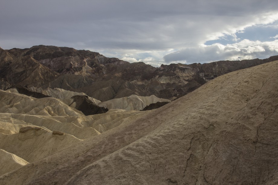
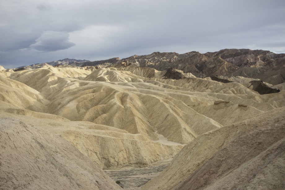
Zabriskie Point
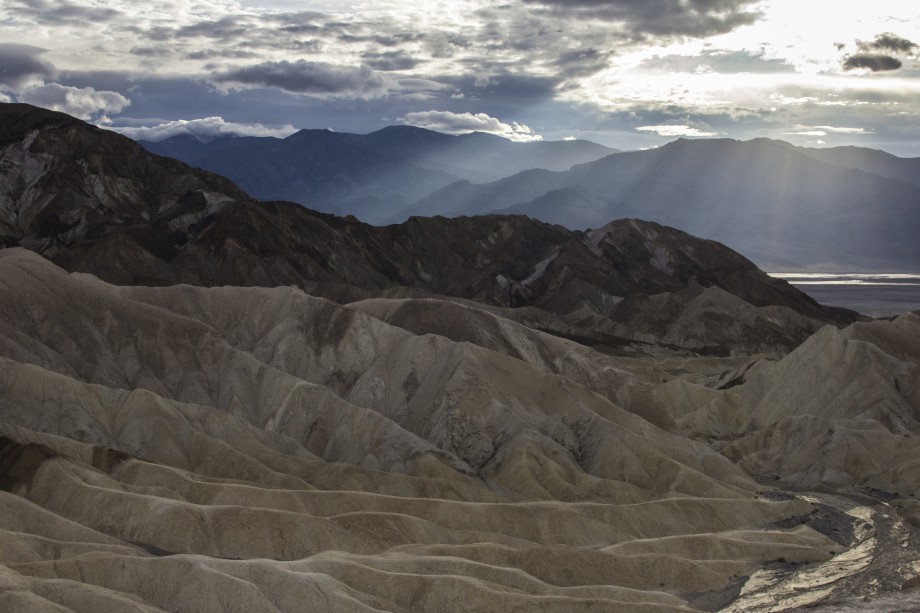
I didn’t have high expectations because, like I said: You’ve seen the pictures, you think you know what it’s like. Maybe that thinking wasn’t too bad, who knows if I would’ve been blown away like this otherwise. The view to either side was astonishing and we made it just in time for the sunset.
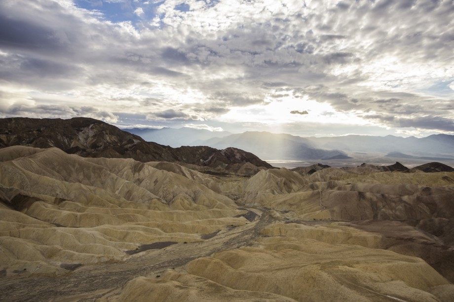
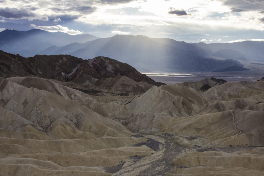
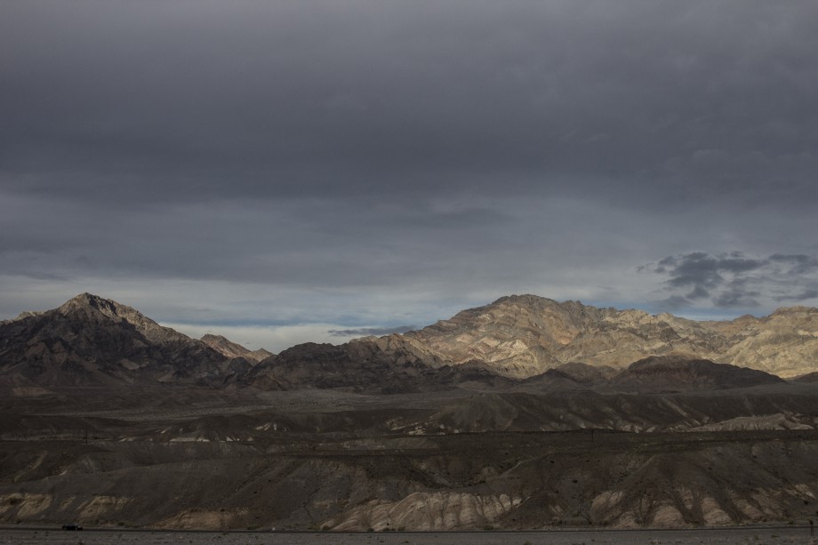
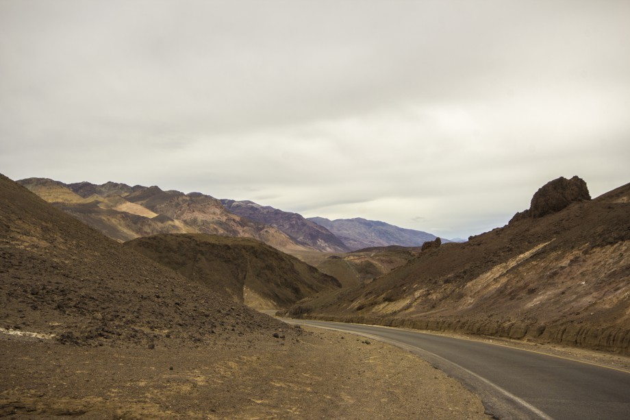
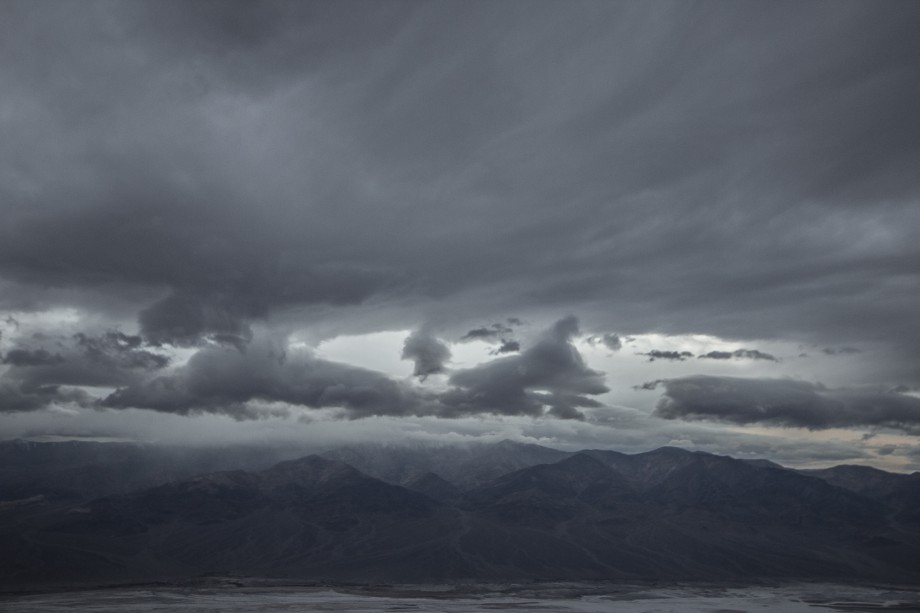
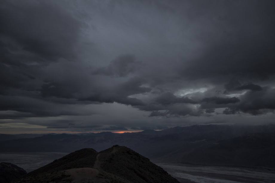
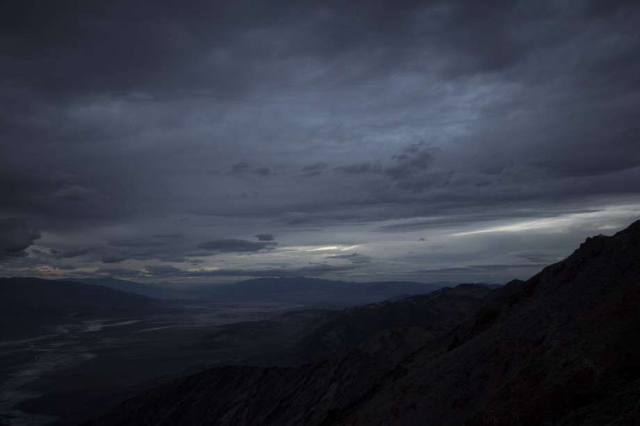
Dante’s view
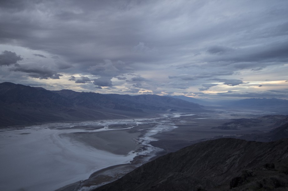
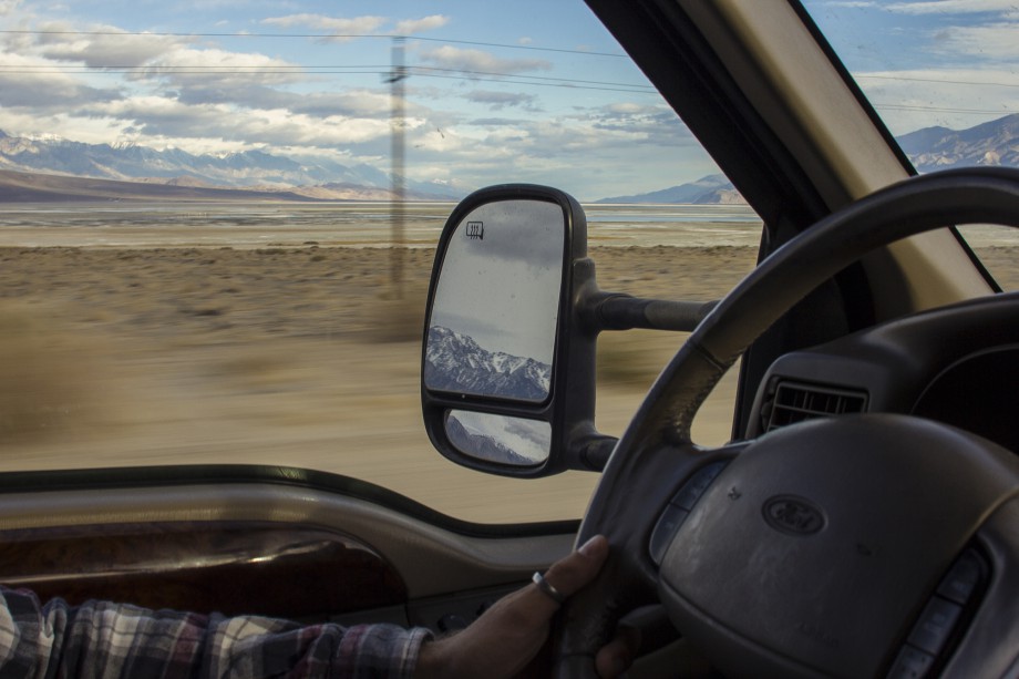
We decided to drive up the winding road to Dante’s view just in time to see the sun setting behind Telescope Peak, the highest Mountain in Death Valley, right at the edge of Badwater Basin, the lowest point. Actually, the peak and the basin are only about 20 miles apart, the shortest distance for such an elevation gain in the lower 48 states. Someone paid attention at the visitor center.
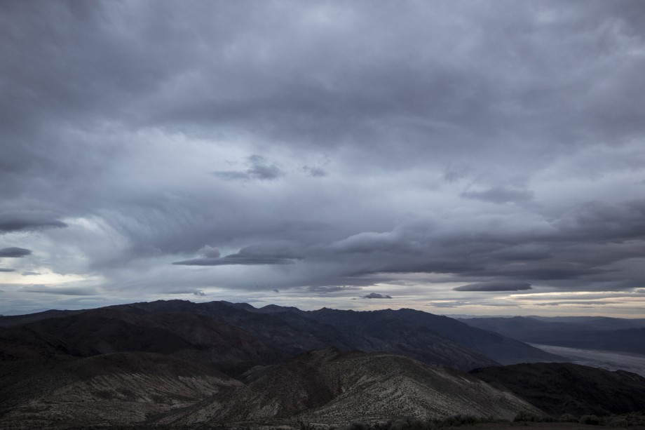
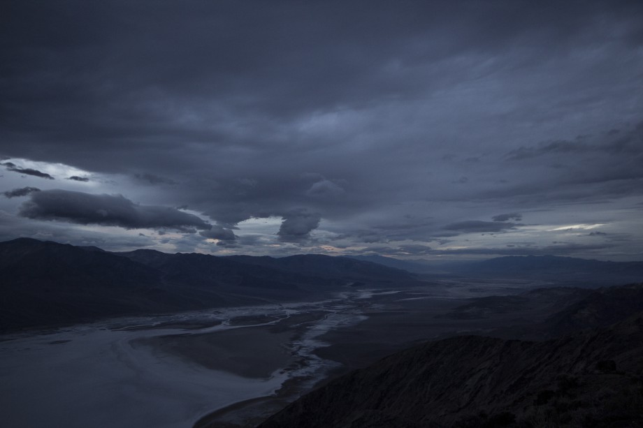
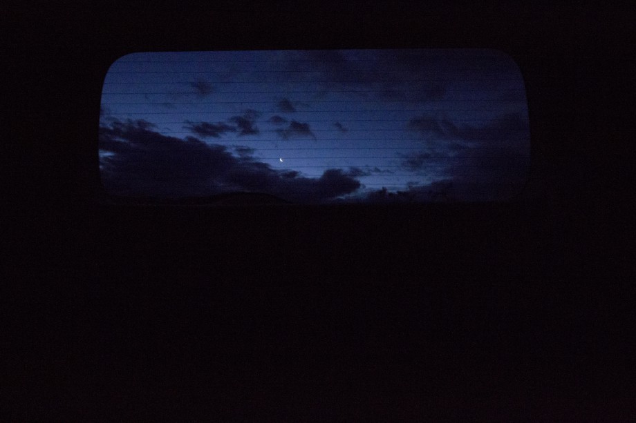
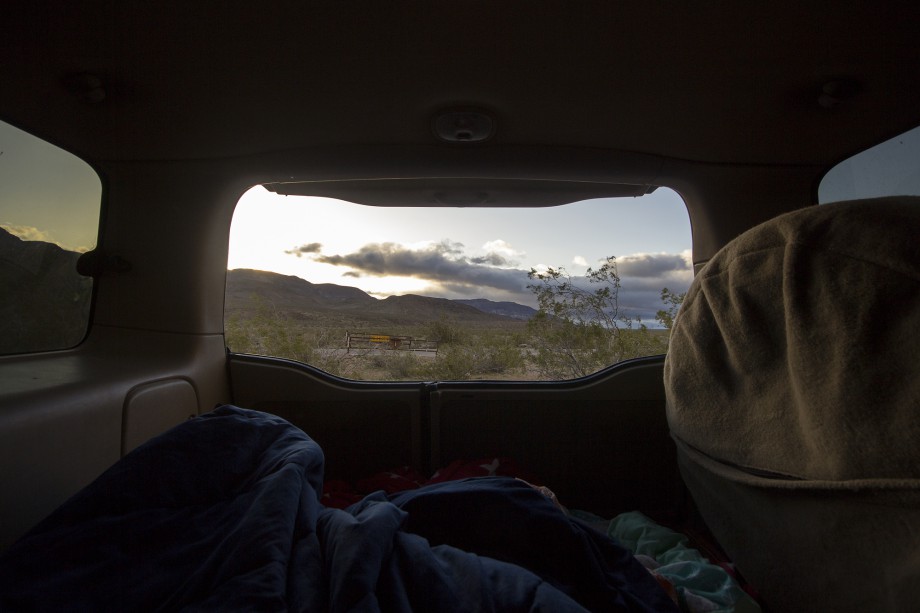
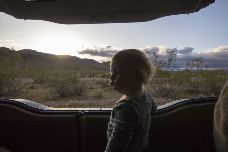
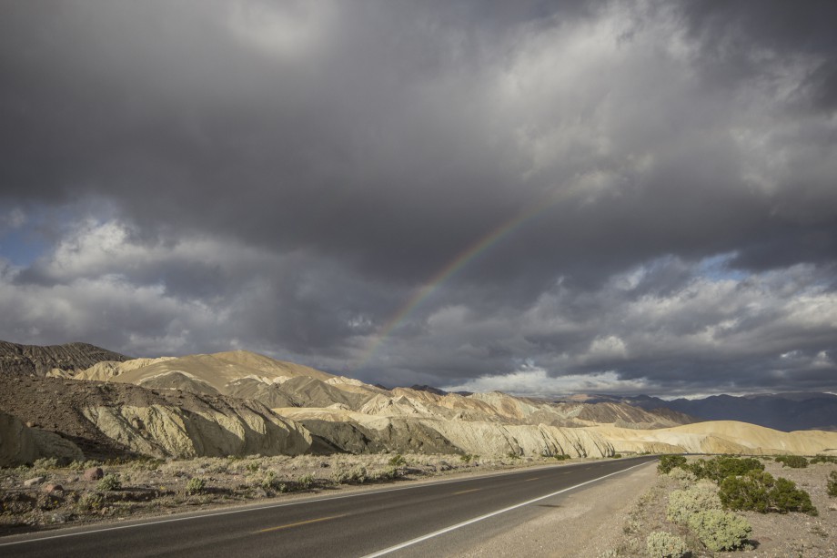
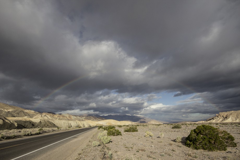
Another reason we drove to Dante’s view was a promising “Trailer parking” spot, since trailer are not allowed at the peak. We figured that would be a nice place to camp for the night. And we were right, we had the parking lot for ourselves and beautiful views of the mountains, the sunrise (featured by kids) and even a rainbow.
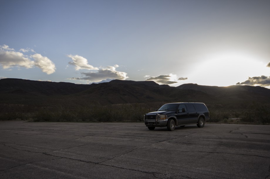
I’m glad we only took the car, because it was so much easier to get around. Also, we may have only spend two days but it was a nice time frame to explore most of the areas you can reach without 4×4. For more exploring a 4×4 would be awesome (for example for driving to Racetrack Playa, where the famous wandering rocks are).